Google has mapped out B.C.’s roads using its 360-degree street view technology – so why not turn an eye to the province’s many hiking trails?
For the next 100 days, the tech giant is sending volunteers wearing state-of-the-art backpack cameras to explore 1,500 kilometres of West Coast forests and mountains.
It’s all part of a tourism campaign to show off the province’s raw beauty in partnership with Destination BC.
“From our research, we know that there are 2.3-million searches on Google per second,” said Maya Lang, Vice-President of Global Marketing at Destination B.C. “The volume of people who are using these digital planning tools just gives us the opportunity to access them.”
Some of the locations going digital on Vancouver Island potentially include the West Coast Trail and hiking trails on the North Coast.
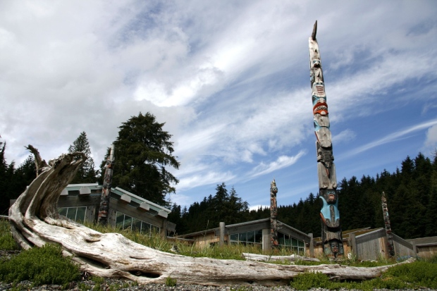
They’ll also trek around rugged and remote landscapes like Haida Gwaii, Mount Edziza and the Tumbler Ridge Global Geopark.
The 40-pound Google Trekker backpacks are loaded with about 15 cameras that take high-resolution pictures every two to three seconds.
When the hard drives contained in the backpacks are returned to Google the company will spend up to six months stitching the pictures to create a 360-degree panoramic view.
On top of the street-view maps, Destination BC will also include interviews with locals, activities and historical information in each region
“It literally gets [each place] on the map,” said Lang. “The other thing that’s great about the ability to showcase local areas is you can also promote businesses.”
The trail maps will be included on the regular Google Maps app and website as well as Destination BC’s website.
Those wanting to watch the progress of the Google Trekkers as they make their way across B.C. can follow Destination BC on Instagram.