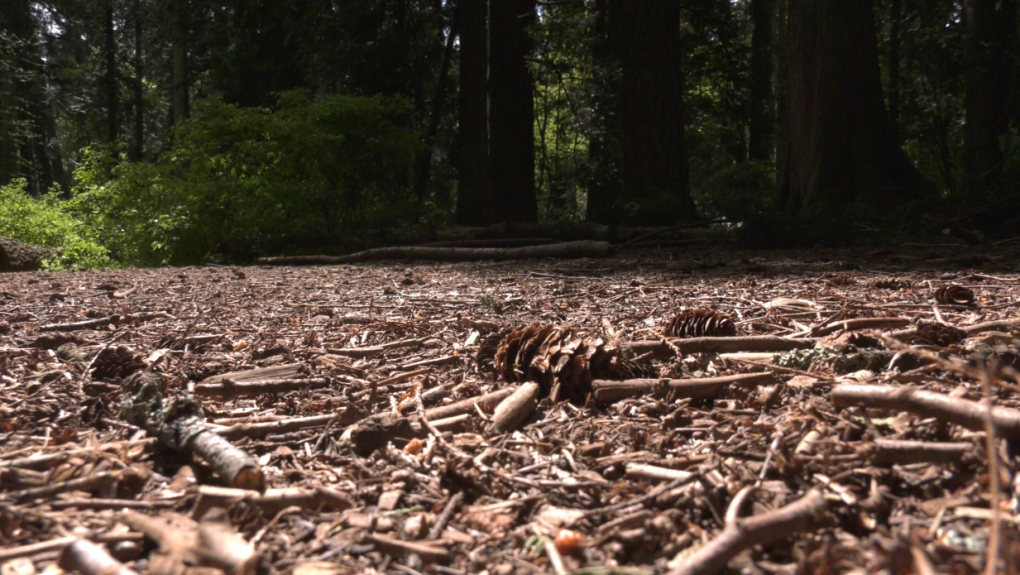
VICTORIA -- Spring on Vancouver Island this year is shaping up to be one of the driest on record.
March saw less the half of the normal rainfall for Vancouver Island, and April is turning out to be much the same.
With only 28 millimetres of rain falling in a month that would normally see as much as 60 millimetres of precipitation, March 2020 was one of the driest ever recorded.
Now, with a little more than two thirds of the month over, April may also be destined to be one of the driest months.
“We’ve literally seen 5 millimetres of rain in Victoria,” said Environment Canada meteorologist Armel Castellan.
“2016 was the most recent year with very little precipitation in April, but we’re talking about both March and April being in the top five, maybe top 10 [driest months] by the end of the weekend.”
Environment Canada says there is a weather front expected to arrive Tuesday night, bringing more moderate temperatures and possible rainfall to Vancouver Island.
As cloud cover increases, as much as five to 10 millimetres of rain could fall overnight.
“Nothing extraordinary but certainly normal weather for this time of year,” said Castellan. “It’s not going to catch us up, we are still going to be really low at the end of this month.”
So far, this month is on track to be near record breaking. However, forecasters predict active weather this weekend to bring five millimetres of rain on both Saturday and Sunday.
“That will be much needed in anticipation of the drought season in the summer,” said Castellan.
“For the island it’s not like we keep our reserves of snow and they don’t feed the river systems and the streams through to September, so we really do rely on the rains that come to survive those really hot months in July and August,” he said.
The dry spring we are experiencing follows a dry fall that saw two straight weeks of no precipitation in November of 2019. Since then, Vancouver Island has seen below normal rainfall for the past six months.
“Now we’ve seen not just summer droughts in May through September without precipitation, but also we’re seeing winter droughts,” said Castellan.
“Months like November, which are traditionally months that we see the most amount of our precipitation, are well below normal so those are big numbers that we are in deficit of when we go in to spring and summer.”
Castellan said 2019 was similar to this year where the lack of rain broke records in March and May.
By last June, he said things were looking good for the summer wildfire season, however.
“This year is the same situation,” said Castellan. “We are not necessarily in the best stead going forward but nature can play a very important role in the moment.”
“Last year in July it was unusually wet and that really helped out.”
As we go through spring and into summer there is going to be a greater need to see “cold cut off” low pressure systems arrive on the southern half of Vancouver Island, which brings rainfall, according to Castellan.
It is hoped that those rains will help minimize the number of wildfires and keep rivers and streams at healthy levels following this unseasonably dry spring.
