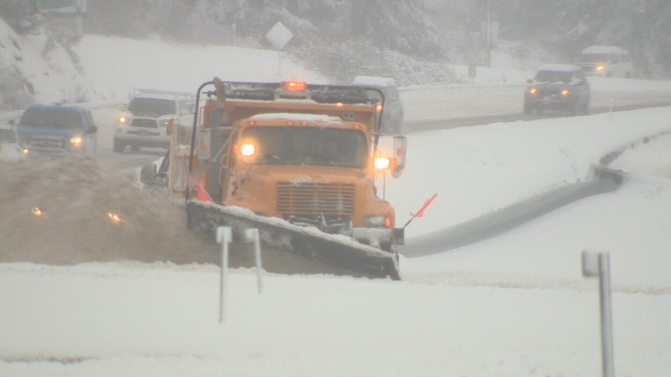
It's official: This has been the snowiest February ever in Victoria.
After another 23 centimetres fell on B.C.'s capital Monday in a coastal snowstorm, Environment Canada confirmed the region has seen more snow this month than any February since records began in 1941.
With approximately 55 centimetres of snow falling so far this February, meteorologist Armel Castellan says we've already shattered the previous monthly record set in 2014, when 39.6 centimetres fell on Victoria.
"We've gone for basically 10, 11 days now and with this much colder regime, that's been able to keep the snow going from event to event," Castellan said.
Another five to 10 centimetres of snow was expected in the region Tuesday before the unusually snowy season turns to its usual rain.
"We're going to go through this gradual warm-up," said Castellan.
The warm-up is expected to begin Thursday night and could even start with snow before it changes to rain – with the risk of freezing rain.
Still, anyone hoping for another round of early spring-like temperatures is in for a letdown.
"Instead of being seven to eight degrees below normal, we'll only be two to three degrees colder than normal," said Castellan.
He said it's been so cold in Victoria this February that when all is said and done, this winter period will likely be colder than average – despite the city having a warmer-than-normal January and December.
Environment Canada said it has contacted Emergency Management BC about the incoming warm-up, as localized flooding could be a concerned with a massive amount of melting snow.
