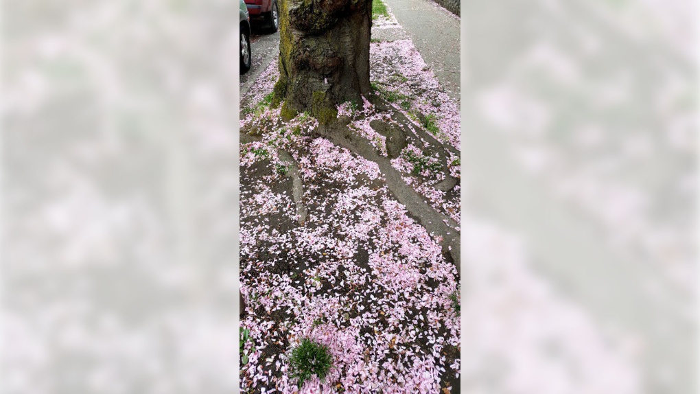
Pink “snow” was seen in Victoria. Eventually it happens – the cherry and plum blossoms that brighten late winter-early spring days drop. If the wind picks up, the petal blizzard sweeps across the city. When skies are grey, like this weekend and today, the pop of pink is pretty, even if it’s piling up on the ground, like snow.
Speaking of the grey weather, can we rewind to last week’s summer-like conditions? While I knew the change was coming (inside intel…), I wasn’t really in the mood for a grey, cold, rainy weekend.
More than six millimetres of rain fell at the Victoria airport Saturday and Sunday thanks to a low pressure system that approached from the southwest. Sweaters and coats had to come out again, too.
At YYJ, temperatures reached just 12.5°C Saturday afternoon, and 12.2°C on Sunday. It really was a bit of a shock to the system to go from temperatures in the mid-20s to temperatures in the low-teens in such a short period of time.
This morning’s showers and drizzle in the Capital Region are associated with remnants of the system which is clearing out today. Fellow sun worshippers, you’ll be pleased to know the weather is going to take another bright turn this week.
As a ridge of high pressure builds, our skies clear and the weather warms up. Tomorrow is a totally different day. Progressively the weather gets warmer this week, with sunshine and cloudy periods the norm through Saturday. Ready for another round of temperatures in the 20s, Vancouver Island? I am!
If April showers really do bring May flowers, as the saying goes, this next shot of sunshine should help to bring the next round out!


