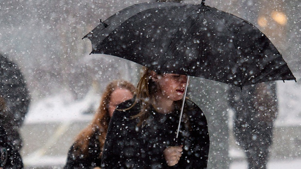
VICTORIA -- Environment Canada predicts the latest winter blast to hit southeastern British Columbia is tailing off but its effects will be felt for some time.
As much as 30 centimetres of snow fell on southern Interior and southeastern mountain passes in less than a day on top of more than two metres of snow since mid-December.
The Transportation Ministry says the Coquihalla Highway between Hope and Merritt was to be closed between 11 a.m. and 3 p.m. for avalanche control.
DriveBC, the province's online travel advisory site, says avalanche control was also planned or underway on sections of Highway 1 east and west of Revelstoke, the Kootenay Pass on Highway 3 and a portion of Highway 23 north of Revelstoke.
Elsewhere, Environment Canada has posted special weather statements for parts of Vancouver Island and the inner south coast, including Metro Vancouver.
Forecasters advise that cooler weather could bring up to five centimetres of snow to higher elevations in those areas by late Thursday.
Environment Canada predicts that higher elevation areas on Vancouver Island could see more than five centimetres of snow Thursday night, with lower elevation regions seeing at least some amount of snow and rain.
"The snow is expected to change back to rain Friday morning," reads Environment Canada's special weather statement. "However, with temperatures remaining below seasonal normals into next week, the chance of more snow remains."
The special weather statement is in effect for East Vancouver Island, ranging from Duncan to Campbell River, and Inland Vancouver Island.
This report by The Canadian Press was first published Jan. 8, 2020
