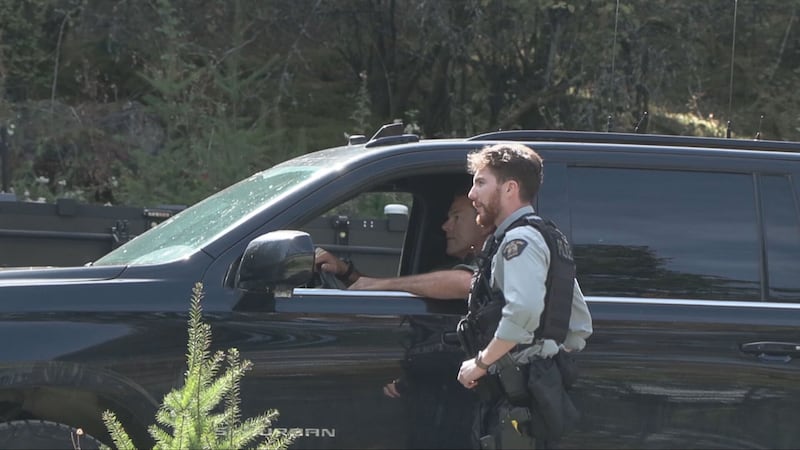
Drivers in Saskatchewan are no strangers to snowstorms, even in April. Travelling saleswoman Dora Durocher drove southwest through the Meadow Lake area Tuesday morning, where some of the heaviest snowfall is expected. “When I left Beauval, it wasn’t that bad,” Durocher told CTV. “It just snowed a little bit in Beauval, but when I got on the highway, maybe 10 minutes after, it was starting to get really bad.” She said the weather finally cleared up after St. Walburg and was mild by the time she reached Alberta around midday. At the same time, visibility was decreasing on roads around Prince Albert. Environment Canada meteorologist Danielle Desjardins said northwest and central Saskatchewan will bear the brunt of the storm, but the end is in sight. “Things are going to taper off from west to east beginning overnight [Tuesday night], and then over the course of the morning, Wednesday morning in the southeast.” She said due to warmer temperatures Thursday and onward, the snow isn’t expected to stick around too long, especially in the south half of the province. ‘We’re expecting the snow to melt quite quickly. Even as far north as I’d say yeah, the yellowhead,” said Desjardins. “The snowpack has been eaten away quite significantly and with that warmup I would expect over the next two or three days after that system, snow will be melted.” The snow is expected to remain longer in the north where the snowpack is still present. The RCMP says that as of 1 p.m., it hadn’t received any calls for weather-related driving incidents, but it advises the public to monitor the Highway Hotline as the weather system progresses. The Prince Albert Police Service advises drivers to slow down, increase following distance, and to leave early to allow extra driving time to reach their destination.