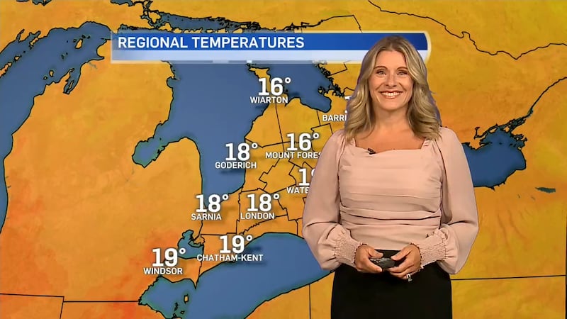
The temperatures are climbing as we see some sun and cloud in Midwestern Ontario. “Today [Monday] we’ll see increasing amounts of cloud heading through the overnight,” said meteorologist Julie Atchison. “Our next pressure system will move in as we head into tomorrow with the chance of showers in the short term. There will be some fog developing overnight as this low-pressure system starts to pull this cloud cover eastward.” There’s a possibility of thunderstorms as the system moves through. Here’s a full look at your forecast: Monday night: A few clouds. Fog patches overnight. Low 10. Tuesday: A mix of sun and cloud with 60 percent chance of showers. Risk of a thunderstorm late in the afternoon. Wind becoming southwest 30 km/h gusting to 50 in the morning. High 24. Humidex 26. UV index 6 or high. Wednesday: A mix of sun and cloud with 40 percent chance of showers. High 26. Thursday: A mix of sun and cloud with 60 percent chance of showers. High 26.