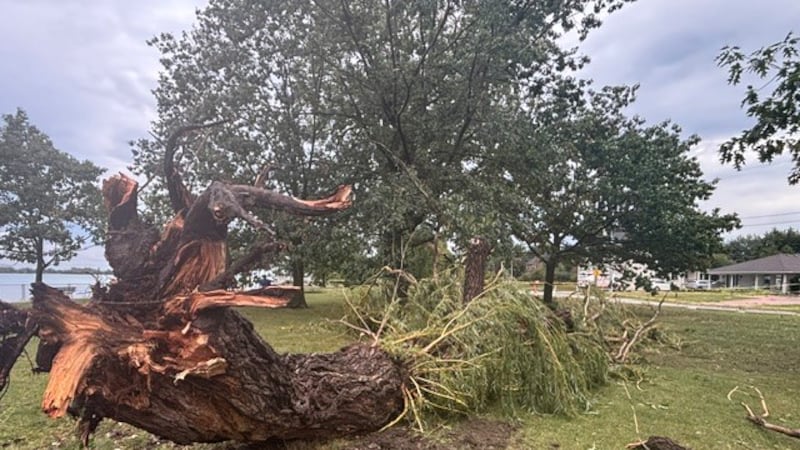
Tuesday will be similar to Monday in terms of temperatures across central and southern Alberta; however, the conditions will differ. A low-pressure system is expected to track into central and southern Alberta and bring scattered showers with isolated non-severe thunderstorms. There will be more cloud on Tuesday compared to Monday, and wind speeds will also be stronger. The eastern edge of that upper-level trough will be fuelled by a fast-moving southerly jet stream at the surface, potentially sparking some large-sized and severe thunderstorms and/or strong tornadoes. This system will collide with a warm and dry air mass over northern Montana and North Dakota as well as southern Saskatchewan and Manitoba. The timing of this convergence with the peak heat of the day will only amplify the effects and could result in a severe weather outbreak, with the greatest threats including heavy rain, golf-ball-sized hail, wind speeds in excess of 100 km/h and/or tornado formation. In Alberta, there will be less energy and support for severe storm development; however, widespread rain is expected starting late Tuesday and into Wednesday. Portions of southern Alberta could record more than 20 millimetres of rain over a two- to three-day period. Calgary might catch the northern edge of this precipitation—impacting the morning commute—or the majority of rain could fall south of the city. Winds will be stronger on Wednesday, and temperatures are expected to fall until Friday before returning to the low 20s by the weekend. The normal range in Calgary this time of year is 20 C for a high and 7 C for a low.