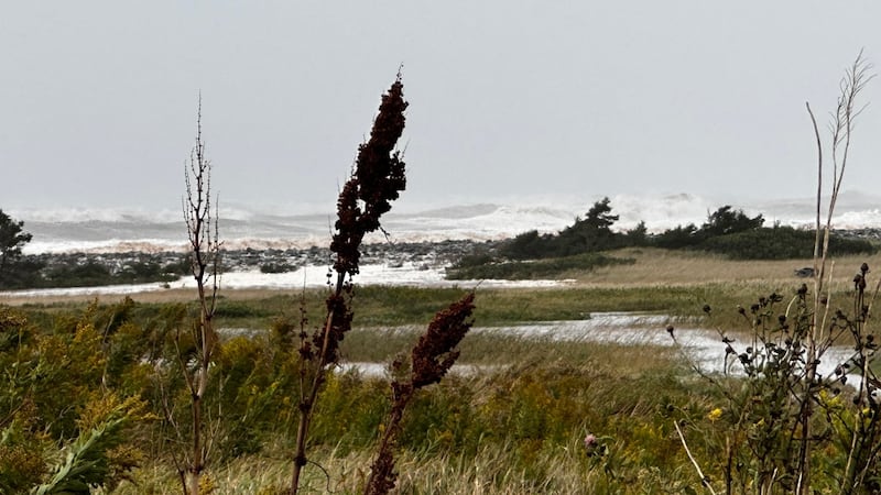
It’s been a tough week for the regional ferry services as travel was disrupted by high and gusty winds on Thursday. A Texas Low will bring another round of potentially disruptive wind before smoother sailing in the weekend and early next week. Peak wind gusts reached 60 to 80 km/h on Thursday in eastern parts of the Maritimes. Prince Edward Island, the North and Eastern Shore of Nova Scotia, and Cape Breton felt that the most. In the Cabot Strait, the weather station at St. Paul Island recorded a gust at 95 km/h. A Gale Warning is in effect for the marine area. There is some short-term improvement in the forecast. The northwest wind will gradually ease Thursday night into Friday morning. Even the wind in the Cabot Strait is forecast to diminish to northwest 15 knot or 27 km/h by noon on Friday. The break in the wind lasts until Friday evening. After that, a gusty southerly wind moves in with the next weather system. Friday Texas Low The next weather maker for the Maritimes is a Texas Low that will strengthen as it travels along the boundary of some colder, polar breaking southward into Ontario and milder air positioned on the U.S. eastern seaboard. A cold October rain will arrive in New Brunswick and southwestern Nova Scotia during the day Friday. The rain will develop west-to-east across the Maritimes, moving into and through Friday evening. Some wet snow may mix with the rain for communities in northern New Brunswick, though no accumulation outside of the highest peaks of the mountainous terrain is expected. The rain is forecast to total a bit lower than the first system this week. About 10 to 20 mm is expected for most communities. A gusty southerly wind will push in with the wet weather. Gusts reaching 50 to 70 km/h can be expected to develop on the Bay of Fundy coastline of New Brunswick, Atlantic coastline of Nova Scotia, Cape Breton, and Prince Edward Island Friday evening and night. Due to the topography of the Cape Breton Highlands, gusts in northern Inverness County-Cape Breton are likely to peak over 100 km/h Friday night. The peak of the southerly wind for the Cabot Strait is expected Friday overnight into early Saturday morning. Check in on the Marine Atlantic Ferry schedule in the event of sailing delays or cancellations. Cold weekend A blustery northwest wind will drag in chilly air this weekend. Temperatures in Prince Edward Island and Nova Scotia may start in the double digits Saturday morning but will fall steadily during the day in a blustery northwest wind. Saturday night will be cold with most lows ranging from just a few degrees above freezing to a few degrees below. There could be the odd flurry or two in northern New Brunswick on Saturday. It will be chilly on Sunday with most daytime highs only reaching the mid-to-high single digits. It will be cold again Sunday night with lows dipping down close to zero again. By Sunday high pressure is forecast to be firmly in place over the Maritimes. There will be lots of sunshine and just breezy winds. The lighter wind should allow for smoother sailing on the ferry routes not only Sunday but through Monday and Tuesday of next week as well.