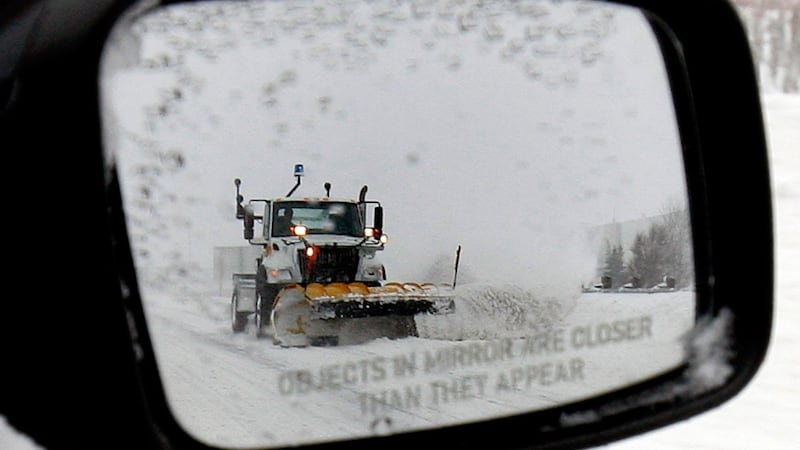
Warm weather will continue on Thursday across most of the province with daytime highs reaching the mid-teens around southern Alberta. A significant change in the weather pattern will bring both cold air and precipitation into the province starting Thursday night. Rain will transition to snow in northern Alberta and B.C. before tracking south and east on Friday and Saturday. The timing of this is notable as folks head out for the Thanksgiving weekend. Environment and Climate Change Canada issued a widespread special weather statement early Thursday explaining, “The first accumulating snow of the year is expected late this week, which may affect holiday travel.” The precipitation will impact west-central Alberta first, with most of the province likely to see accumulating snow by Saturday, “possibly including the Calgary-Edmonton corridor. The highest snowfall amounts are expected in western parts of the province, including Grande Cache, Hinton and Jasper National Park, where snow totals could exceed 20 centimetres. Snow amounts for other areas of the province remain uncertain.” The first bit of mixed precipitation and/or snow should melt on Calgary roadways due to warmer surface temperatures. However strong north wind and temperatures that will peak at 2 C between Friday night and Monday, could allow some ice or slush to build-up. Visibility will be affected in some areas and road conditions could quickly deteriorate due to the combination of wind and falling rain/snow. Overnight lows will drop below freezing in Calgary on Saturday and Sunday. The normal range this time of year is 14 C for a high and 0 C for a low. The end of the long weekend will be better with a daytime high of 10 C in Calgary and a mix of sun and cloud. Temperatures will return to seasonal values by the middle of the week.