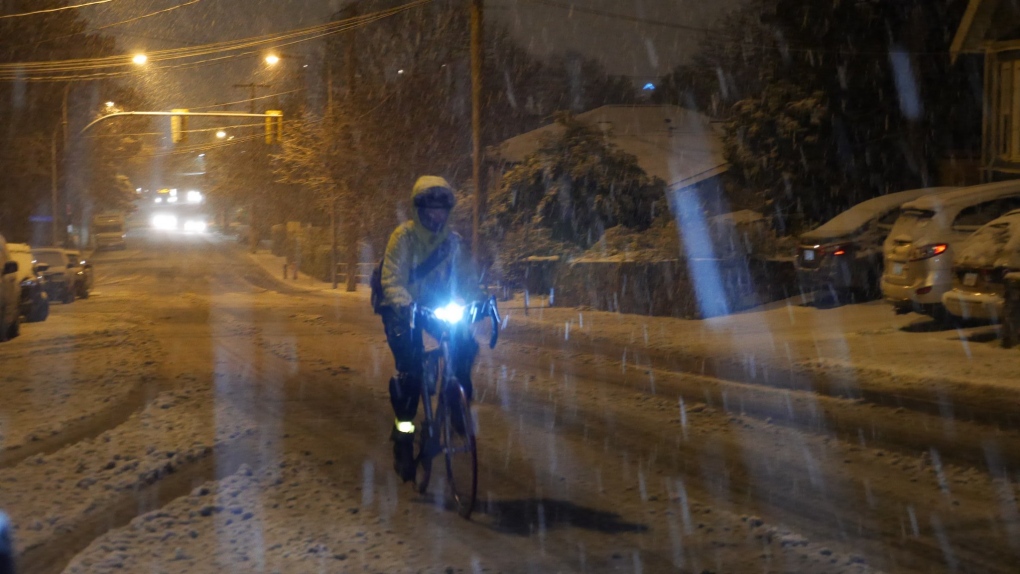
The first cold air mass of the season is approaching and it threatens to bring a wintry mix of precipitation to some parts of Vancouver Island as early as Thursday morning.
Late this afternoon Environment Canada issued a special weather statement for Greater Victoria, East Vancouver Island and Inland Vancouver Island suggesting the possibility of a wintry mix of precipitation tomorrow.
Slowly but surely, an Arctic front is pushing cold air out to the west coast.
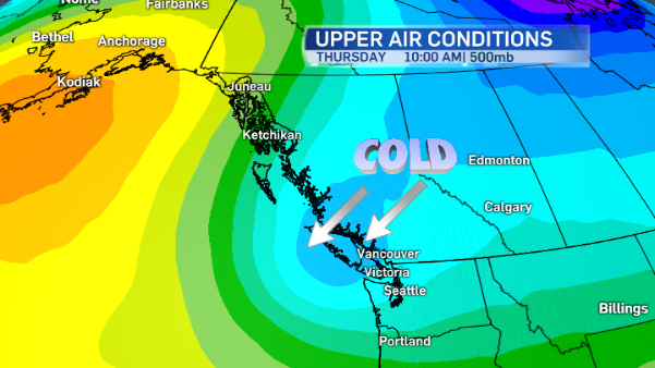
At the same time the cold air settles in over the South Coast of B.C., a low pressure system bringing showers and periods of rain will sweep across Vancouver Island.
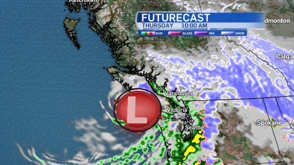
Cold air + precipitation = snow. That’s basically the formula. But will it be cold enough at sea level to get some flurries? That depends where you are. Around sea level in Victoria the precipitation will fall as rain, but at higher elevations and through inland Vancouver Island precipitation will fall as a wintry rain/snow mix on Thursday.
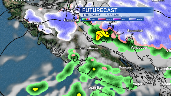
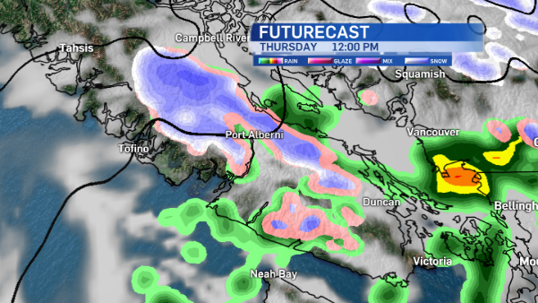
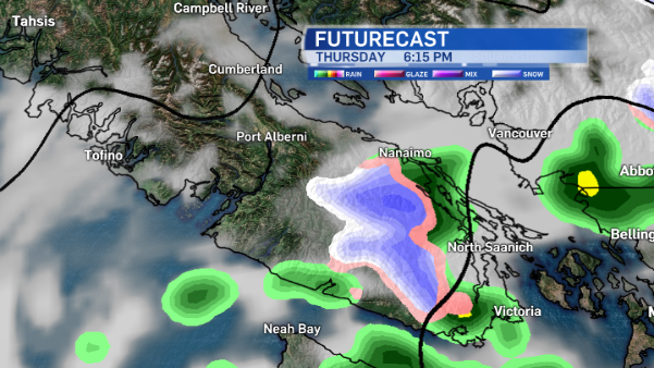
Most of the snow we get on the island will be in the mountains. Good news for Mount Washington Alpine Resort, expecting at least 10-20 centimetres of snow in the next 24 hours!
The bulk of the wintry weather will be on the mainland. Rain is expected to change to snow tonight with 5 to 10 centimetres likely tomorrow. Alerts have been issued for many parts of B.C. as the wintry mix spreads Thursday night through Friday morning.
Light snow is possible for Fraser Valley and Howe Sound. In Vancouver a wintry mix of precipitation is possible although no significant accumulation is expected. If there is any snow in the Vancouver area, it will be confined to higher elevations.
Back to your island weather story: there’s a brief break in precipitation as we round out the work week, although temperatures remain cold.
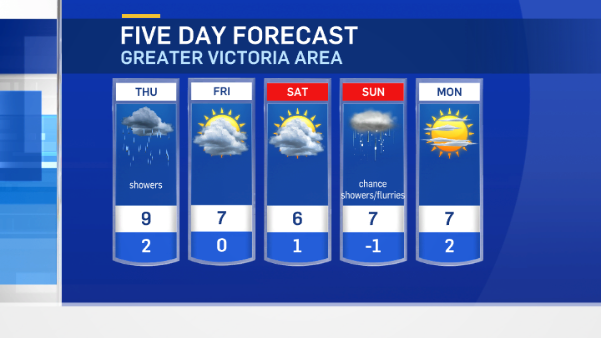
Watch out for Saturday though. The chance of showers mixed with flurries creeps back into the forecast. It’s hard to believe temperatures were up around the 20-degree mark just a few days ago!
