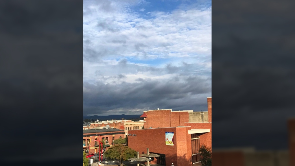
Rain on Vancouver Island will ramp up today thanks to a stream of moisture aimed directly at the South Coast of B.C.
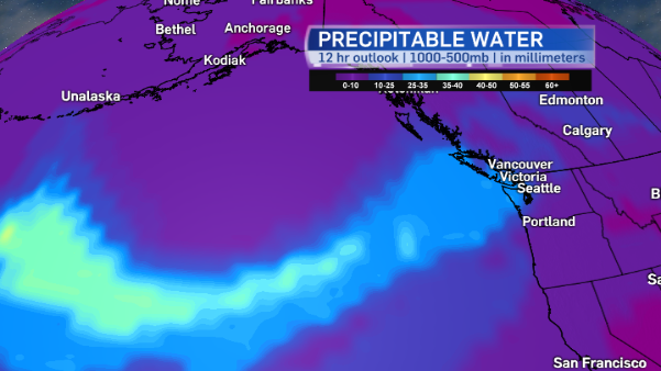
This stream of moisture is called an atmospheric river. Essentially, it’s a column of condensed water vapour in the atmosphere that produces heavy rain as it moves inland. And that’s exactly what we’re going to get over the next few days as two fall storms approach in quick succession.
Storm #1: Tonight through Tuesday
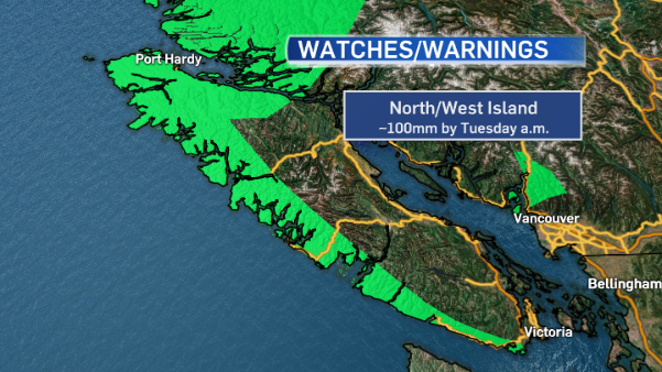
Rainfall warnings are in effect for West Vancouver Island and North Vancouver Island, warning that up to 100 millimetres is expected to fall by Tuesday morning.
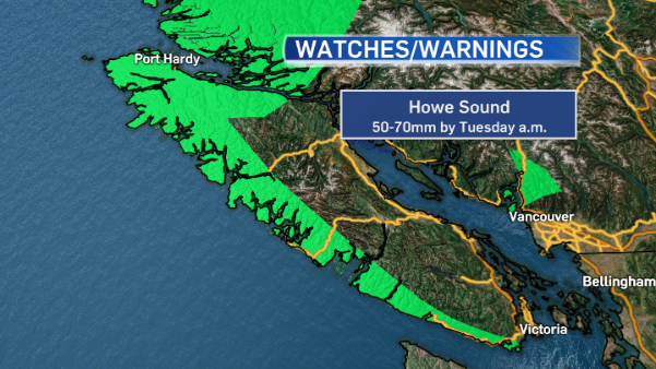
Howe Sound is also under a rainfall warning, expecting 50-70 millimetres of rain in the same time period.
Environment Canada has also issued a wind warning for Greater Victoria and the Southern Gulf Islands, with up to 90 kilometre an hour gusts expected Tuesday morning.
Wind warning now in effect for #GreaterVictoria and #SouthernGulfIslands in addition to rainfall warnings for west & north #VancouverIsland pic.twitter.com/q0ncmd2ErP
— Astrid Braunschmidt (@CTVNewsAstrid) October 16, 2017
The winds are expected to ease off by Tuesday afternoon, but the agency is warning people that loose objects could be tossed around by the gusts and tree branches could break.
Environment Canada warns that this rain event could lead to localized flooding, especially if falling leaves are blocking storm drains.
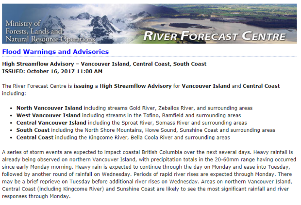
The B.C. River Forecast Centre has issued a high streamflow advisory for many island waterways.
There will be a brief break in the rain Tuesday afternoon before another storm approaches.
Storm #2: Wednesday
More heavy rain and wind is expected.
