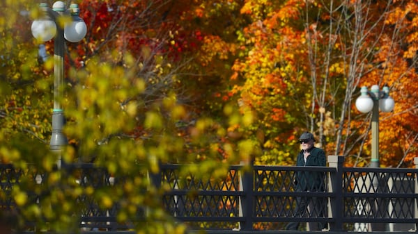
Central and southern Alberta will experience two days of warmer-than-average weather, with sunshine dominating over Calgary on Wednesday and clouds starting to build on Thursday. Wind speeds will be minimal, peaking around 15 to 20 km/h Wednesday afternoon with a daytime high in Calgary of 24 C both days. Light and scattered showers are possible along the foothills Wednesday afternoon and early evening but should remain unorganized and lack the energy to intensify and/or produce persistent moisture. On Thursday, the ridge of high pressure situated over the western Prairies will start to get pushed out as a dominant and strong low-pressure system from the Pacific basin begins to cut south and east through southern B.C. By Saturday, that low will create unsettled weather along much of the western Prairies, with strong wind, cooler temperatures and rain all expected. Earlier models were suggesting that same low would end up closer to the leeward side of the Rockies by the end of the weekend, which would initiate a major rain event for central and southern portions of the province. On Wednesday, it looks like that low will swing further south and east before ending up closer to the southwestern border of Saskatchewan—a synoptic setup that would direct most of the incoming precipitation initially around the capital region, or at least further north of Red Deer rather than south. Rain is expected to start in Calgary on Friday and continue into next Tuesday, but now it looks like the wettest days could have half the accumulation totals previously forecast. Daytime highs should also be slightly warmer than forecast Tuesday, with the lowest high being 17 C on Sunday as opposed to 14 C. Portions of the province will still receive concerning amounts of moisture, which will create a cumulative problem in terms of ground absorption, as persistent rain will eventually cause the ground to reach maximum saturation, so water will pool and/or run off.