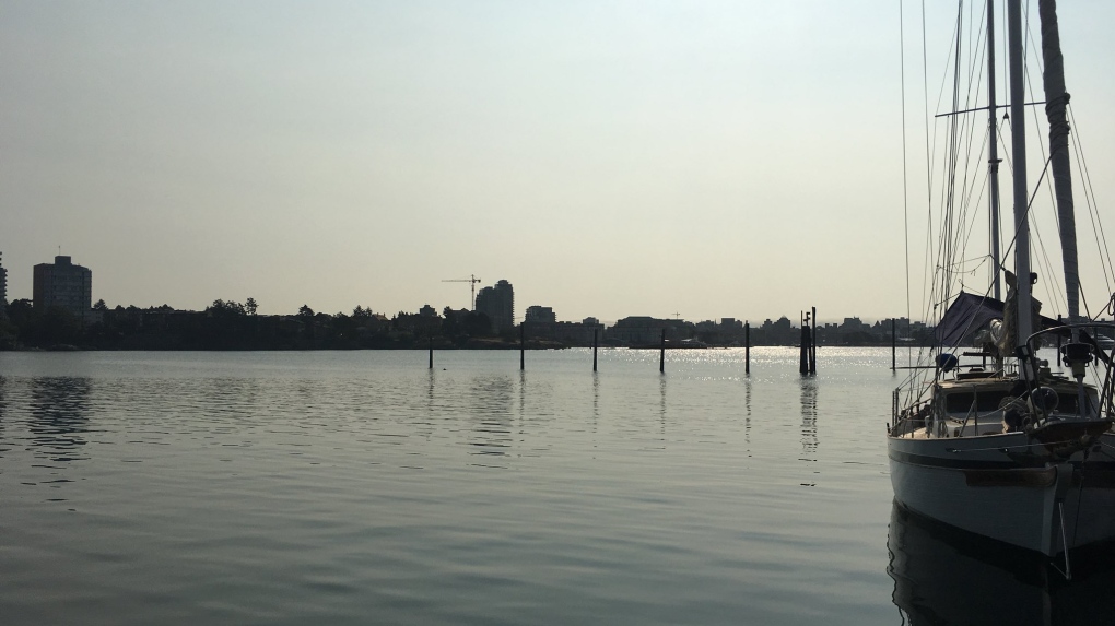
To fully appreciate the smoky haze blanketing the area, watch this video:
Victoria to Vancouver in about a minute. Smoky haze, Fraser river plume. pic.twitter.com/JxS6TjTFJ2
— Ed Wiebe (@edwiebe) July 31, 2018
The Smoky Skies Bulletin continues today for many parts of the province, but a shift in the weather pattern means the west coast of Vancouver Island is no longer affected and the air is clearing out.
The ridge of high pressure that has dominated our weather pattern is shifting east and cooler marine air is flowing over the Island, cleaning the air over the west coast. Still, most of the Island and the rest of B.C. is affected by smoke coming from distant and local wildfires, which is why the Smoky Skies Bulletin remains in effect.
Heat Warnings were still in place for much of the day Tuesday in East and Inland Vancouver Island. Temperatures are expected to peak in the high 20s to low 30s again today. Conditions will cool down in the next 24 hours as more of that fresh marine air works its way across the island. At around 3:30 p.m., the heat warnings were rescinded for much of B.C. including all of Vancouver Island.
Rain on the way
The push of marine air will become stronger on Thursday, noticeably lowering temperatures. In some cases the cool-down will mean afternoon maximum temperatures will be ten degrees colder than in the peak of the heat!
By Friday a frontal system will track towards British Columbia’s north coast. As it slips southward on the weekend, there’s a chance of some showers on Vancouver Island. At this point it doesn’t look like we’ll get a soaking rain in the Capital Region. A few showers are more likely, especially Sunday and Monday.
July by the numbers
The upcoming rainfall will break a nearly one month dry streak in Victoria. Just 2.2 millimetres of rain has fallen in YYJ since Canada Day, with the last measurable rainfall taking place on July 9th. Total rainfall is well below the average of 17.9 millimetres. Overall July 2018 has also been hotter than normal in Victoria with an average daytime high of 24.4°C. Normal for this time of year is around 22°C.
