Toronto could see flooding in some areas Wednesday with up to 25 millimetres of rain expected to fall over the next 24 hours.
Here’s what you need to know:
5:28 p.m. - weather advisory in effect
In addition to the special weather statement, Environment Canada has issued a winter weather travel advisory for Toronto as temperatures are expected to fall below the freezing mark Thursday morning.
Ponding water and wet surfaces can freeze, creating icy and slippery conditions, Environment Canada says.
11:30 a.m. - City standing by for potentially flooding
The city says crews were deployed to inspect and clear catch basins in low-lying areas, including on the Don Valley Parkway, on Tuesday ahead of the rainfall.
A spokesperson told CTV News Toronto in an email that crews and equipment are standing by and available to respond quickly to any flooding that occurs.
“The public should stay away from shorelines, rivers and streams, and use caution if travelling during flooding. Motorists should slow down, leave extra time for their journey, and never drive through flooding or ponding, especially in underpasses.”

11:15 a.m. – Check your coverage: insurance expert
According to LowestRates.ca, most standard home insurance policies don’t cover damage to your home caused by overland flooding, which is water that enters your home from overflowing rivers or heavy rainfall.
“Flood coverage can be tricky; it’s often limited, varies depending on where you live, and there can be a lot of options,” Steven Harris, a licensed insurance broker, said in a news release published by the online rate comparison website. “To truly protect your home, you need to understand the details of your policy and make sure you have the right flood protection in place.”

To prevent flooding damage, homeowners should make sure that their gutters and downspouts are clear of debris and ice dams, which is one of many crucial steps in directing water away from your home.
If your home does flood, make sure to document any damage with photos and videos and keep detailed records for any future insurance claims.
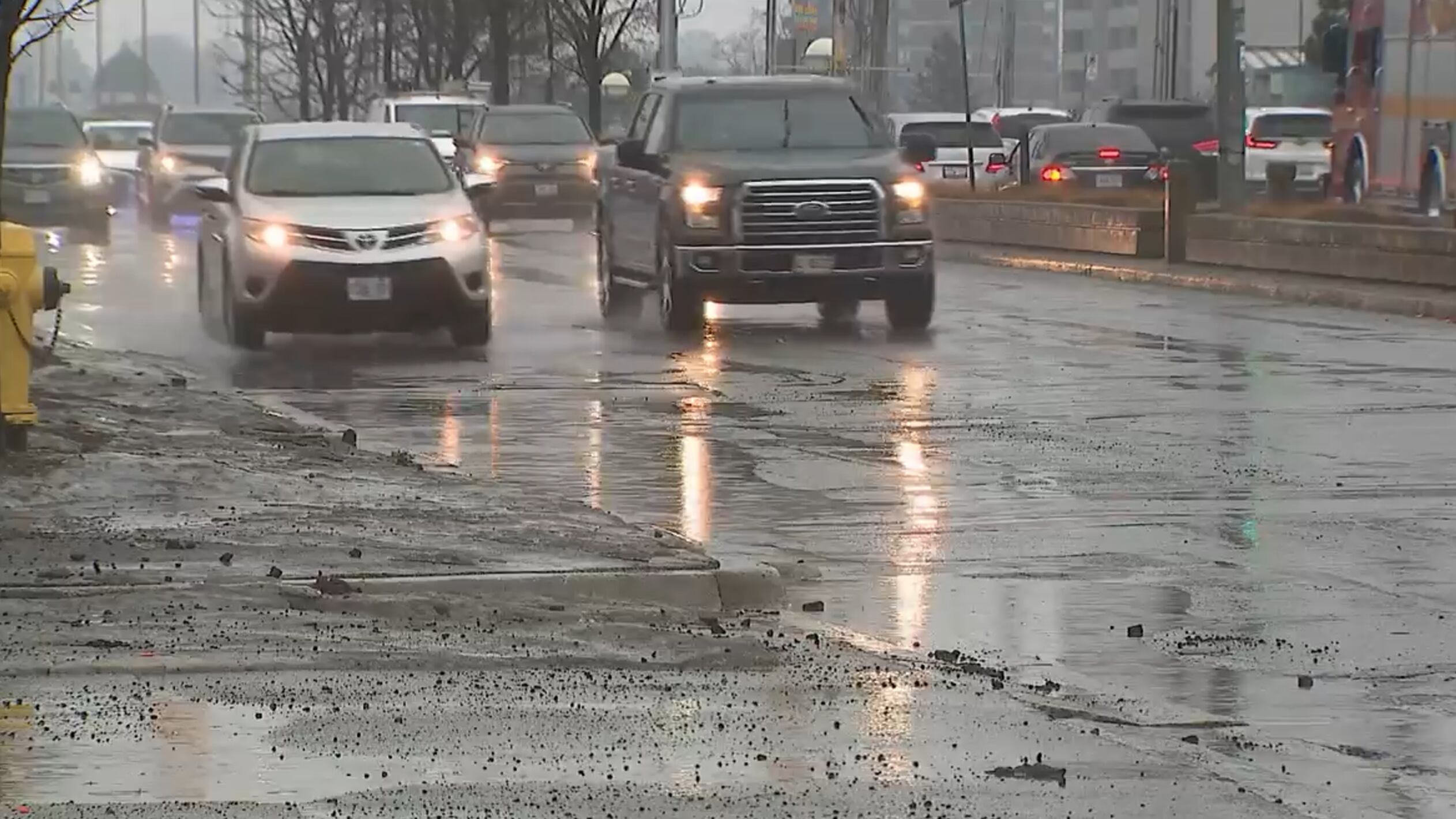
11:00 a.m. - First bout of rain passes over the city
Toronto saw a patch of rain pass over the city early Wednesday morning, but Environment Canada’s special weather statement for the area and much of southwestern Ontario remains in effect.
“Now we’re into sort of periods of drizzle. Shower activity still quite possible. And even late this afternoon and early this evening, we could even get a thunderstorm, just to show how unsettled the atmosphere is,” Geoff Coulson, warning preparedness meteorologist with Environment Canada, told CP24.

Rainfall amounts of 15 to 25 mm are expected through Thursday morning, but could be higher in some areas. Mild temperatures and a high of 7 C will add to the water on the ground, as lingering snowbanks from last month’s snowstorms start to melt.
10:00 a.m. - Frozen ground could add to flood risk
Environment Canada said the frozen ground has a “reduced ability” to absorb the rainfall, which could add to the flood risk.
Overnight, the temperature is expected to fall close to the freezing mark, causing rain to change to snow, and producing icy and slippery conditions on some surfaces.
The Toronto and Region Conservation Authority (TRCA) has also issued a watershed conditions statement warning of possible runoff.

Toronto police are warning the public to stay off natural ice surfaces as the temperature warms up and the rain starts to fall.
“It is crucial that the public avoid going onto the ice formed on Lake Ontario or other bodies of water in the GTA. Remember, all ice is unsafe, especially at this time of year,” police said in a statement issued Tuesday.
Snow, mixed with rain, will continue to fall into Thursday morning with accumulations of two to four centimetres expected.
More to come…