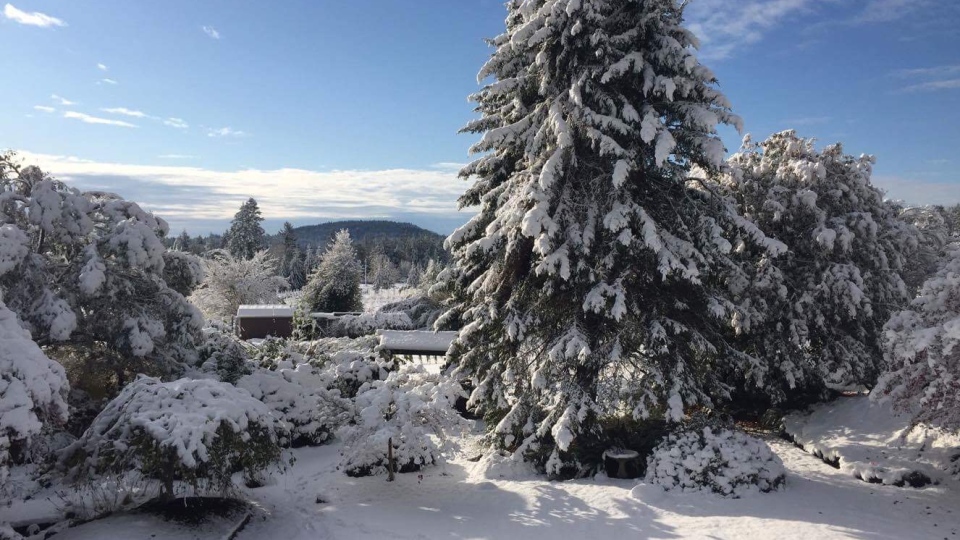
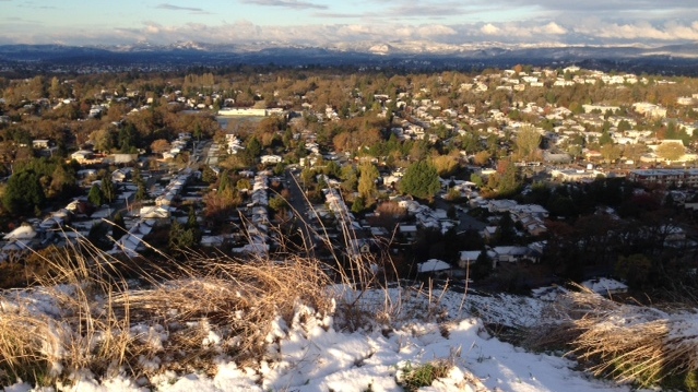
Wintry weather blanketed communities across Vancouver Island Thursday, and Environment Canada says it'll happen all over again this weekend.
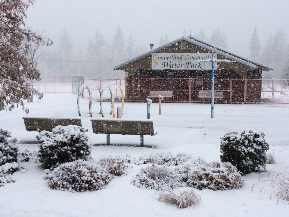
The precipitation started up-island with the Comox Valley getting a thick layer of snow early Thursday morning, leading to slippery conditions on roadways.
The snowfall moved further south as the day progressed, creating a challenging late-night commute on the Malahat Highway.
Downtown Victoria saw blustery conditions late Thursday night before the snowfall subsided and the white stuff eventually melted.
Wet snow is now sticking to cars and falling hard in downtown Victoria. Roads are getting slushy. pic.twitter.com/sl4cUpbrNF
— CTV News VI (@CTVNewsVI) November 3, 2017
The winter weather toppled trees onto power lines and left thousands of people without electricity on the Saanich Peninsula, Duncan and North Cowichan.
Most of the outages had been restored by Friday morning, according to BC Hydro.
Highways up-island were still slippery Friday morning, with Drive BC cautioning drivers about slushy sections of Highway 19, Highway 4 and Highway 4A in the Parksville and Qualicum Beach area.
The snow came about due to an influx of modified arctic air, and more appears to be on the way for Vancouver Island Friday and over the weekend.
Environment Canada issued another special weather statement Friday for all of Vancouver Island, saying a new round of low pressure will bring snow on Saturday.
At the highest elevations, snow accumulation could exceed five centimetres, Environment Canada said.
The agency is asking drivers to prepare for the winter weather by having snow tires installed and shovels and salt ready.
The City of Victoria has activated its Extreme Weather Protocol, opening up shelter spaces to those who need a respite from the bitter cold.
A list of available shelter spaces can be found on the VEWP website here.
Shelter spaces are also available in Nanaimo and Parksville.
