VANCOUVER -- After a last blast of winter weather dropped as much as 30 centimetres of snow on certain parts of Vancouver Island overnight Friday into Saturday morning, the region is set to return to its normal weather pattern in the coming week, according to Environment Canada.
Much of the island woke up to wind warnings on Saturday, and BC Ferries was forced to cancel several sailings on the northern part of the island. No routes between the island and the Lower Mainland were cancelled, however.
Winds died down throughout the day, and wind warnings for Victoria and the Southern Gulf Islands were ended Saturday afternoon.
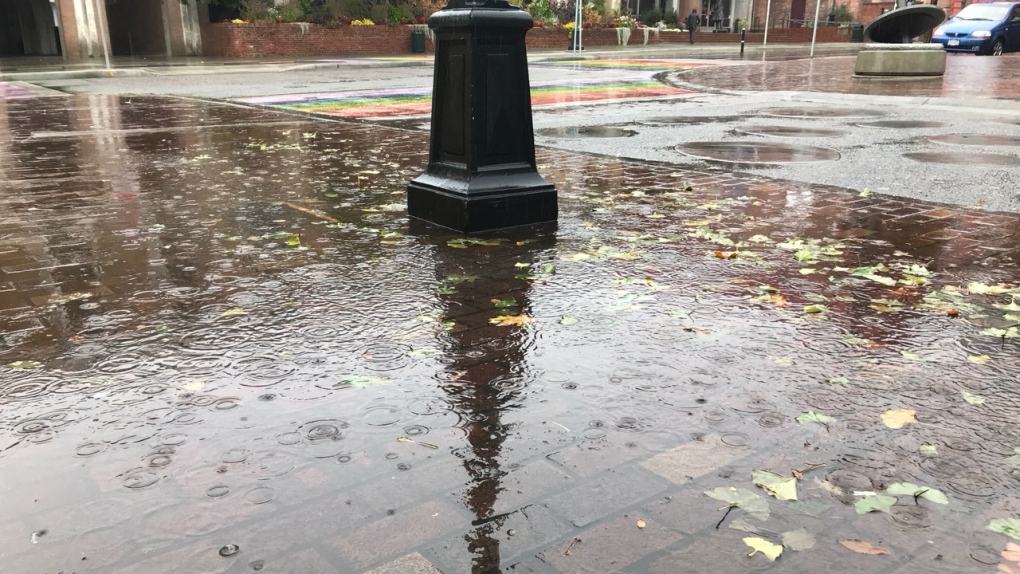
As the day wore on, the next storm system brought warmer air and the potential for significant amounts of rain to the area.
Upwards of 100 millimetres of rain were expected on the west coast of the island, with the heaviest rainfall expected Saturday night.
The City of Victoria and other areas in the southern part of Vancouver Island could anticipate smaller rainfall totals, likely around 20 millimetres, according to Jonathan Bau, senior meteorologist for Environment Canada.
Bau described the latest storm as a return to normal, even with rainfall totals for the Island's west coast expected to top 125 millimetres by Monday.
"These areas typically will see heavy amounts of precipitation and heavy amounts of rain during our winter season," he said.
That said, even if heavy rain is to be expected on Vancouver Island in winter, it poses risks when combined with melting snow, Bau said.
"The combination of the rising temperatures and the significant amount of rain will definitely have an impact on drainage," he said.
The City of Victoria says crews have been working to clear storm drains, and will be monitoring Saturday night's storm and ready to respond to any flooding that occurs.
