A day after snow covered parts of Vancouver Island, creating slick conditions for drivers and forcing the cancellation of seaplane flights, Environment Canada has issued weather statements advising that more snow is on the way.
Warm, sunny conditions on Thursday will give way to a trough of low pressure moving southward along the B.C. coast starting Friday.
That trough will bring rain and wet snow mixed with rain to Greater Victoria, east Vancouver Island and inland Vancouver Island starting early Friday morning, Environment Canada said.
Areas further inland are more likely to see snow, while coastal areas will likely see a rain-snow mix.
Snowfall amounts are expected to vary greatly, between 2-10 centimetres, according to Environment Canada.
There's also a possibility of more flurries on B.C.'s South Coast Friday night, the agency said.
Snowfall warnings have also been issued for Metro Vancouver, the Sunshine Coast and Howe Sound.
On Wednesday, a snowfall warning was issued for Greater Victoria after Environment Canada forecast up to 10 centimetres of snow for the region.
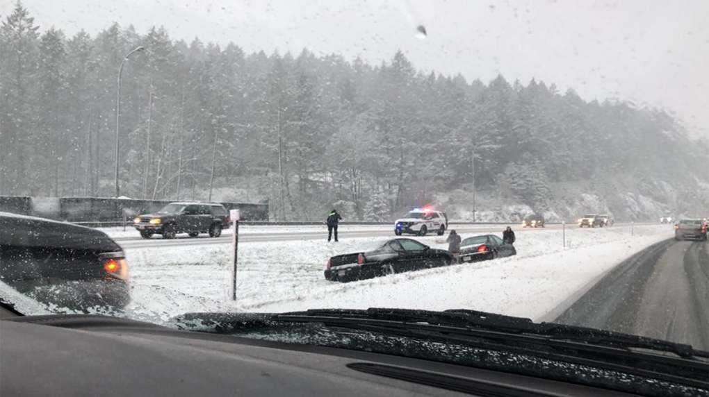
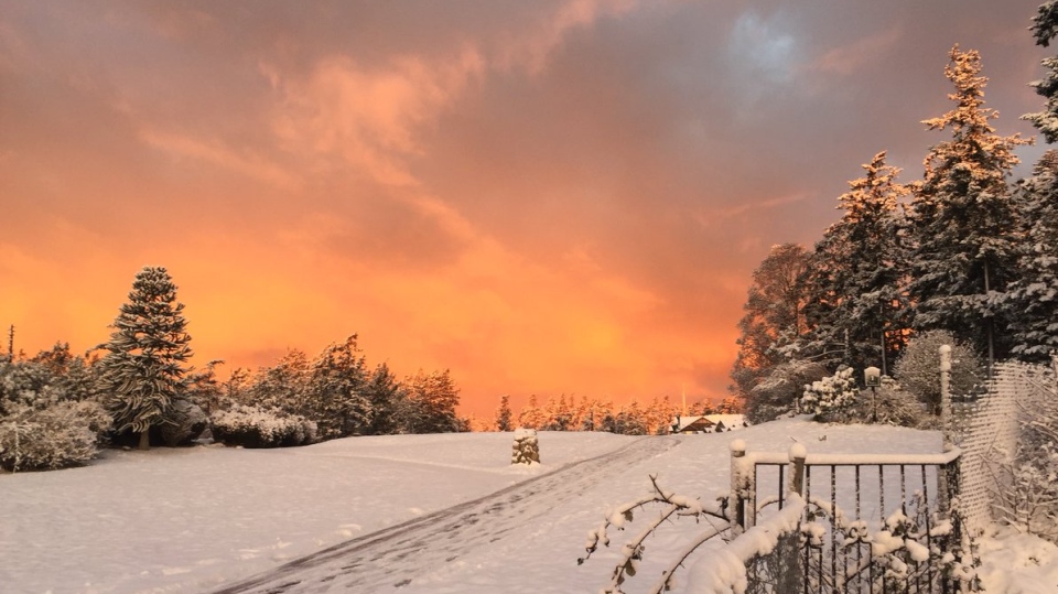
Snow started falling at noon and began to stick to the ground, and a layer of snow blanketed the ground by the late afternoon.
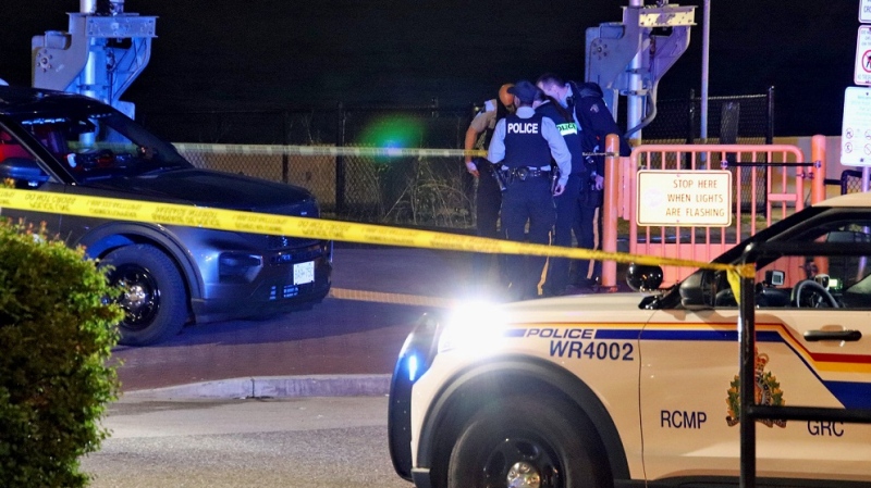
Drivers reported accidents on the Trans-Canada Highway near Thetis Lake Park and near the Malahat Summit.
In Sooke, power lines were brought down late Wednesday, causing a power outage for several hours around Whiffin Spit Road.
The warning was rescinded Wednesday night.
The sudden hit of winter weather also provided some laughs for those who follow the City of Victoria's Twitter account.
As snow fell, the city tweeted that it was postponing an emergency preparedness workshop at City Hall, prompting some to point out the inherent irony of the cancellation.
I hope @Alanis knows about this
— John Band (@johnb78) February 22, 2018
I guess we weren’t prepared... ��
— Brett Finlayson (@BrettFinlayson) February 22, 2018
Isn't it ironic... (don'tcha think) https://t.co/CAi2eI1AuY
— Andrew Johnson (@CTVNewsAndrew) February 22, 2018
"The irony of it wasn't lost on us, and we thought, okay, snow in Victoria, snow day, let's have a little fun with it," said the city's head of engagement, Bill Eisenhower.
Thanks for the laugh tonight #yyj. #victoriasnowday #westcoastwinter #stillCanadians pic.twitter.com/KAA9Lwb9LH
— City of Victoria (@CityOfVictoria) February 22, 2018
