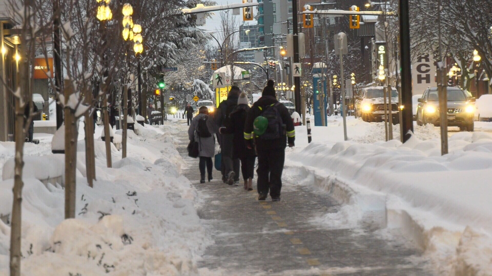
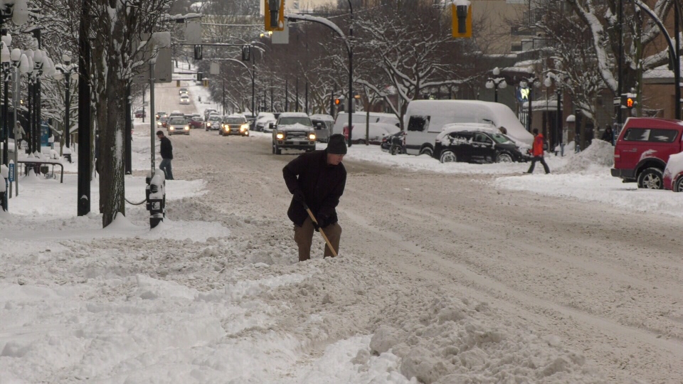
VICTORIA -- After more than 30 centimetres of snow fell on parts of Vancouver Island Tuesday night, Environment Canada is warning another 30 centimetres of snow could hit the region again Wednesday.
Snowfall warnings remain in effect for Greater Victoria, Inland Vancouver Island and East Vancouver Island Wednesday, with wind warnings also issued for Greater Victoria and East Vancouver Island.
In East Vancouver Island, up to 30 centimetres of snow is expected to fall along the coast, affecting communities from Courtenay to Campbell River and Nanoose Bay to Fanny Bay. Meanwhile, winds of up to 90 km/h are expected to cross over the region in the evening.
According to Environment Canada, temperatures could rise above freezing overnight, which may change the snow to rain. However, inland and higher elevations of East Vancouver Island are still expected to see snow until Thursday morning.
In Greater Victoria and Inland Vancouver Island, five to 15 centimetres of precipitation is expected Wednesday. In the evening, snowfall near sea level is expected to change to rain in both regions.
Across the South Island, Environment Canada says that a deep low pressure system will bring potentially damaging southeast winds of 70 to 90 km/h late in the evening before easing Thursday morning.
The B.C. government is advising commuters not to travel if they don't have to, and that wind and snow will make driving difficult. "Blowing snow with poor or near zero visibility is expected," warns Environment Canada.
The latest information on the weather alerts can be found on Environment Canada's website here.
