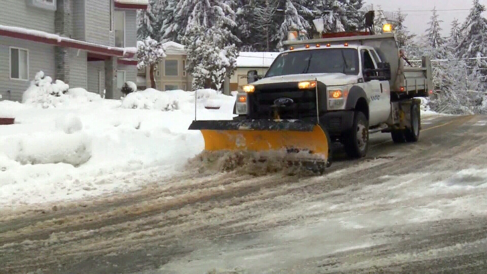
Mother nature is getting the last laugh in Nanaimo and surrounding areas after they were hit with yet another blast of wintry weather Friday.
In Nanaimo, residents woke to snow falling and in the Comox Valley, flakes quickly blanketed the ground.
“We’ve seen up to two, three centimetres in the higher elevations like the Malahat,” said Environment Canada meteorologist Armel Castellan. “Already Lake Cowichan saw half a centimetre before 7 a.m., so probably another centimetre or two there.”
Castellan said communities further north like Courtenay and Campbell River also saw snow.
“It’s very wet, so it’s not accumulating very much,” he said. “We’re seeing a centimetre or two here or there and then some fairly wet and slippery highways along with that.”
There’s good news for mid and north islanders though: weather experts say relief is in sight.
“This is the last we’re going to see probably of snowflakes this weekend, or this morning and perhaps on Sunday morning,” said Castellan. “Other than that there’s really no chance of it as we get closer to March.”
According to Environment Canada Nanaimo has had 18 snow days so far this winter, more than doubling its average of eight days and putting the city’s snow and ice contingency fund in the red.
“For 2017, the budget was $400,000. Right now we’re at about $640,000,” said David Myles, the Nanaimo’s road services manager.
As of late Friday afternoon, an Environment Canada special weather statement was still in effect for east Vancouver Island and the Southern Gulf Islands.
The statement said an additional five to 10 centimetres of snow could fall on east Vancouver Island, and trace amounts in Greater Victoria and the southern Gulf Islands. The precipitation is expected to taper off on Sunday morning as the system moves to the south.
My snow shovelling pile had almost melted and now it's snowing again in #Nanaimo. ��@CTVNewsVI @CTVNewsAstrid pic.twitter.com/bNqhxVsKQU
— Andrew Garland (@CTVNewsAndy) February 24, 2017
It was pouring snow in #Nanaimo today and few were happy about it, like Maggie. She didn't make the cut though. Story tonight @CTVNewsVI pic.twitter.com/g1ZsJcmFtl
— Jessica Lepp (@CTVNewsJess) February 24, 2017
With a report from CTV Vancouver Island's Jessica Lepp
