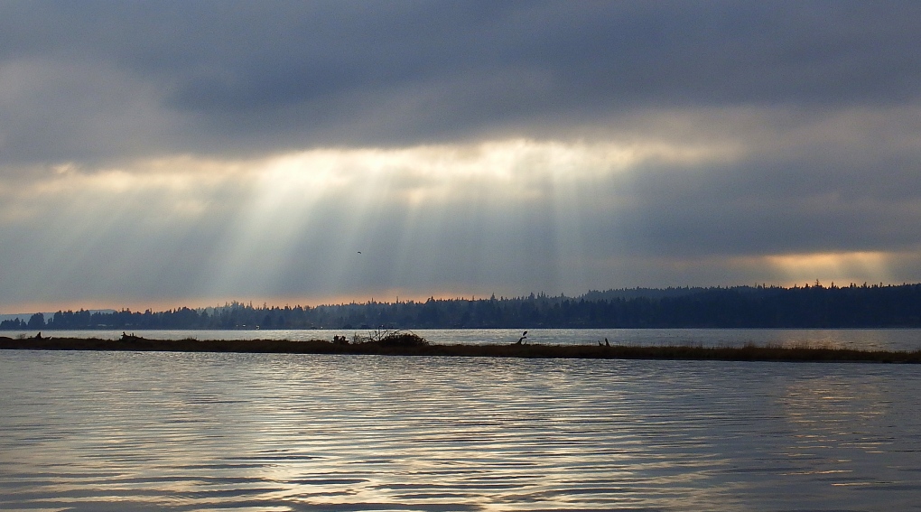
Storm season is well underway, and two more are packing a punch before the end of the weekend. One is a windy rain storm, the other is a rainy wind storm.
Thursday’s storm is the windy rain storm. I expect the rain to be more of a factor than the wind, although it’s possible both wind and rainfall thresholds will be enough to warrant warnings. Think 50-75mm of rain between 4 a.m. and 4 p.m. Thursday in Tofino, 25-50mm in the same time period for East Vancouver Island, and 15-25mm of rain for the Capital Region.
Friday we’ll have a break between systems, but only for a short time.
Next up: The rainy wind storm! This one comes in Friday night and blows through Saturday. Winds will be stronger than those in Thursday’s system. It’ll rain, but not as much. This system will bring subtropical air to the South Coast of B.C. so expect temperatures to be much milder, around 11°C in Victoria. That’s pretty warm for this time of year. Normal is 7°C and the record, set in 1944, is 13.3°C.
All this rain means snow at higher elevations, as long as the temperatures stay cold enough. It looks like Mount Washington is in for a week of flurries with heavier snow falling around the times of the storms. Skiers and snowboards: get your gear ready!
Yet another storm is developing for early next week. More details on that to come…
